Alice Koder / Peter Soustal / Johannes Koder
Aigaion Pelagos (Die nördliche Ägäis)
Unter Mitarbeit von Peter Soustal und Alice Koder
[:de]Herausgegeben von Herbert Hunger[:]
Serie: Tabula Imperii ByzantiniReihe: Denkschriften der Philosophisch-Historischen Klasse
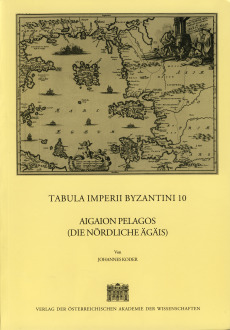
Der 10. Band der Reihe TABULA IMPERII BYZANTINI behandelt die historische Geographie der nördlichen Ägäis, des eigentlichen Aigaion Pelagos, in Spätantike und Mittelalter (inklusive der frühneuzeitlichen Zeit der genuesischen Präsenz). Die ausführliche Einleitung betont den maritimen Charakter des Byzantinischen Reiches und behandelt Geographie, Klima, Geschichte, kirchliche Entwicklung, Wirtschaft, Verkehr, Siedlung und Bevölkerung der Inseln des genannten Raumes. Als wichtigste sind hervorzuheben: Samothrake, Thasos, Lemnos, Skyros und Chios (heute zu Griechenland gehörig), sowie Imbros und Tenedos (heute zur Türkei gehörig). Für die genannten Inseln und die kleineren Nebeninseln bietet der anschließende Hauptteil des Buches in alphabetischer Anordnung der Ortsnamen einen vollständigen Überblick über die schriftliche, archäologische und toponymische Quellenlage in dem genannten Zeitraum. Eine reiche Bibliographie, die Photodokumentation, die Register und die Karten (1 Hauptkarte 1:800.000), 5 Spezialkarten 1:400.000) erleichtern die weitere Wissensvertiefung.The 10th volume of TABULA IMPERII BYZANTINI deals with the historical geography of the northern Aegean, the real Aigaion Pelagos, in Late Antiquity and the Middle Ages (including the first centuries of Modern Times, when Genoese maritime power dominated the region and its islands). The detailed introduction emphasizes the maritime character of the Byzantine Empire and deals with geography and climate, history (church history included), economy and traffic as well as with ecistic and demographic problems. For the greater islands of Samothrace, Thasos, Limnos, Lesbos, Skyros and Chios (all belonging to Greece), and for Imbros and Tenedos (belonging to Turkey) the main part of the volume offers an alphabetical directory of toponyms including a complete survey of the written, archaeological and toponymical sources for the late antique and medieval period. The rich bibliography, the photographical documentation, the indexes and the maps (1 main map, 1:800.000, 5 more detailed maps, 1:400.000) provide further research information.

Produktinformationen
Paperback351 Seiten , Format 21,0 x 29,5
1 Auflage,
Österreichische Akademie der Wissenschaften
1998
Paperback
138,87 € inkl. MwSt.
Erscheinungsdatum
Januar 1998
Kategorie: Geschichte